
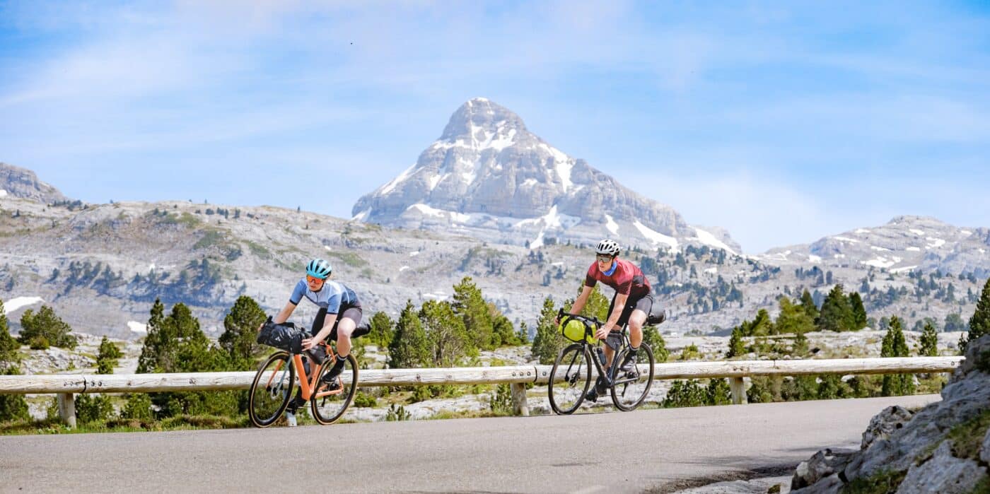
From the ocean to the great Pyrenean passes, it’s time for the challenge
Imagine… The complete crossing of the Pyrenees by the Route des Cols. To bring this project to life in your mind is to get in the saddle and see a bituminous serpentine pass under your wheels among valleys and mountains, gorges and summer pastures, and link your destiny to magical names: Aubisque, Tourmalet, Peyresourde, Menté, Lers, etc…
For any cyclist prone to racking up the miles and elevation gain, it’s an exciting challenge on a legendary course, perhaps the challenge of a lifetime for cyclists and bikepackers.
From the sapphire blue of the Atlantic Ocean to the azure of the Mediterranean, riding on the Route des Cols is like playing the adventurer through the mythical passes, taking the breakaway in a festival of colours and landscapes, putting on the jersey of the most combative in the mountain hairpin bends, falling asleep on the evening of each stage with a radiant and light spirit.
The Route des Cols is a beautiful cycling trip in the heart of the Pyrenees, from the Basque Country to Roussillon, through six departments in the south of France. Most of the route avoids the main roads with heavy traffic and focuses on the secondary (and picturesque) routes in the valleys, some mythical passes of the Tour de France and other more confidential climbs.
To complete the 920 km and 21,000 m of D+, we offer you a reference division into 11 sections of balanced difficulty, but everyone is free to build an adventure as they wish.
The Route des Cols in a few figures
- – Approximately 920 km to cross the Pyrenees from the Atlantic to the Mediterranean
- – Approximately 21,000 m of elevation gain
- – Emblematic passes such as the Aubisque, the Tourmalet or Peyresourde
- – 285 km between Hendaye and Argelès-Gazost
- – Approximately 8,000 m of D+ and 7,000 m of D- on this portion
- – 3 main stages to cross the Basque Country and Béarn
- – An itinerary for sporty and experienced cyclists
The 3 stages to cross the Basque Country and Béarn
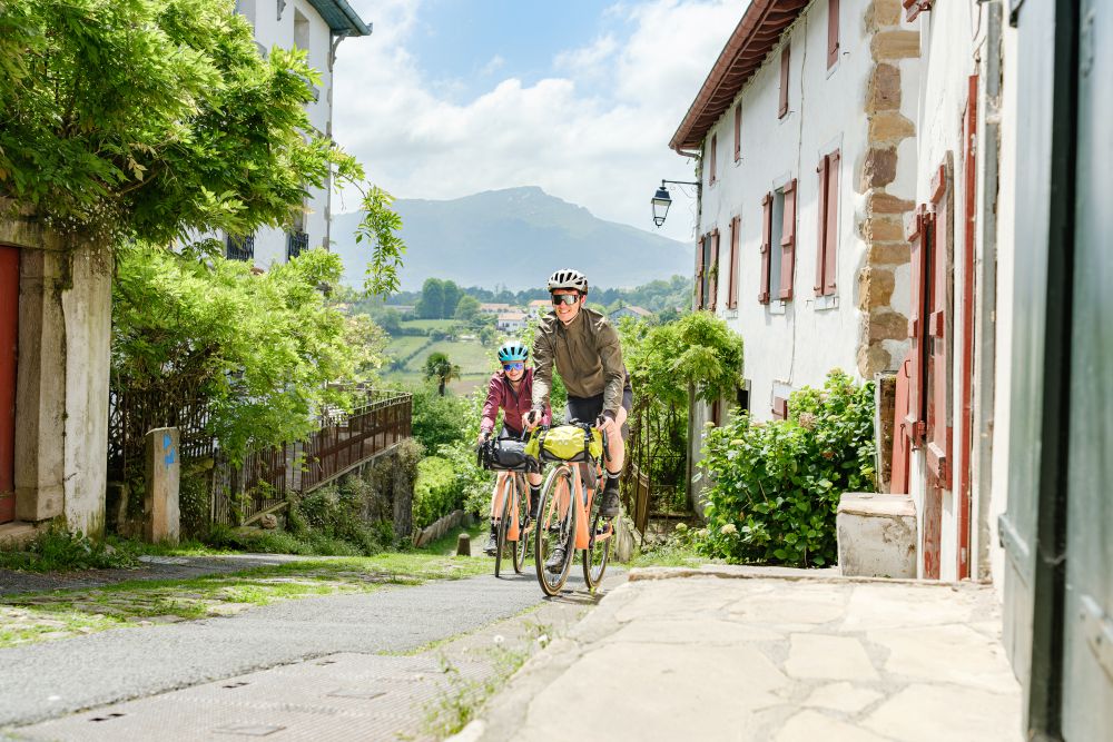
Here, forget about the Sunday morning bike ride. Between Hendaye and Argelès-Gazost, the Route des Cols is constantly changing faces: ocean, Basque villages, Iraty forests, Pyrenean valleys, summer pastures and roads suspended on the mountainside.
Three main stages allow you to progress towards the summits. The relief rises to a crescendo, the big names in cycling appear and the legs quickly understand why this road occupies a special place in the imagination of cyclists.
There are no results for your search. Feel free to modify your search criteria.
Why travel the Route des Cols in the Pyrénées-Atlantiques?
Because it perfectly tells the story of the rise of the Pyrenees.
In Hendaye, you can almost set off with your feet in the ocean. A few hours later, the Labourdine houses have given way to small mountain roads. Then come Iraty, the Soule, the Béarn valleys and finally the high summer pastures of the Aubisque.
But the Route des Cols is also a small encyclopaedia of open-air cycling. Marie-Blanque and Aubisque are among those names intimately linked to the history of the Tour de France. Next to them, other more discreet climbs sometimes reserve equally memorable percentages.
We climb. We sweat. We sometimes wonder why we got into it. Then the road shifts, the landscape opens up and the answer comes by itself.
Where to sleep on the Vélosud?
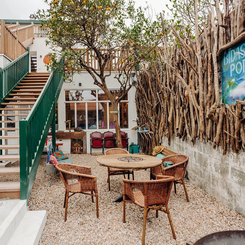
Think about Accueil Vélo accommodation
With this kind of difference in altitude, the choice of the evening stage counts almost as much as the picnic break.
Accueil Vélo accommodation makes it possible to identify establishments adapted to bicycle travellers, including solutions for safe bicycle parking and access to useful services for cyclists.
On a sporty itinerary like this one, remember to build your days according to your level, the difference in altitude and the possibilities of refuelling. Larrau, the Béarn valleys, Laruns or Eaux-Bonnes are all sectors where you can regain your strength before the next pass.
Other establishments with the Accueil Vélo label:
Preparing the Route des Cols by bike
On this route, the difference in altitude does not really forgive improvisation. Before you start:
- practice doing several long climbs in a single day;
- adapt the breakdown of the stages to your level rather than absolutely trying to respect a standard program;
- download the GPX track before departure;
- Check your bike, your brakes and your tyres: the descents are long and sometimes technical;
- take water, food and repair materials with you;
- check the opening of the passes and the weather conditions before each stage;
- Bring a warm, windproof layer: Even in summer, conditions can change quickly at altitude.
The mountains are also a place for work and pastoralism. People slow down near the herds, respect the animals and pastoral equipment, and leave the place as clean as when it arrived.
 ©Gaillard-Saenz
